
Los Pumares topographic map
Interactive map
Click on the map to display elevation.
About this map
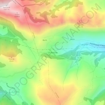
Name: Los Pumares topographic map, elevation, terrain.
Location: Los Pumares, Lamasón, Saja-Nansa, Cantabria, 39550, España (43.23102 -4.55163 43.27102 -4.51163)
Average elevation: 705 m
Minimum elevation: 290 m
Maximum elevation: 1,203 m