Geolocate

Obligacion topographic map

Click on the map to display elevation.

About this map

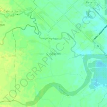
Name: Obligacion topographic map, elevation, terrain.

Location: Obligacion, Baler, Aurora, Central Luzon, 3200, Philippines (15.76054 121.50736 15.80054 121.54736)

Average elevation: 12 m

Minimum elevation: 4 m

Maximum elevation: 20 m

Other topographic maps

Click on a map to view its topography, its elevation and its terrain.

Quezon Memorial Park

Philippines > Aurora > Baler > Sabang

Average elevation: 6 m

Aguang River

Philippines > Aurora > Baler

Average elevation: 36 m

Dicasalarin Cove

Philippines > Aurora > Baler

Average elevation: 77 m

Gear up for your next adventure:

🦟Insect Repellent - Keep mosquitoes and black flies away in wooded areas
🥾Trail Hiking Boots - Supportive boots for rough trails
🔨Vehicle Emergency Tool - Safety tool for remote road trips to trailheads
🧭GPS Tracker - Track your location in remote areas safely
🛶Canoe Life Vest - Safety vest for water sports

As an Amazon Associate, this site earns from qualifying purchases at no extra cost to you.