Geolocate

Concord topographic map

Click on the map to display elevation.

About this map

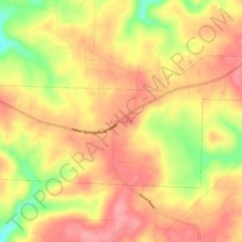
Name: Concord topographic map, elevation, terrain.

Location: Concord, Cleburne County, Arkansas, 72523, United States (35.64369 -91.86764 35.68369 -91.82764)

Average elevation: 298 m

Minimum elevation: 235 m

Maximum elevation: 331 m

Gear up for your next adventure:

🧭Orienteering Kit - Tools for map reading and navigation in the wild
🛰️Satellite Messenger - Emergency communication for areas with no cell service
🥾Approach Boots - Comfortable boots for hiking and climbing approaches
🎒Hiking Daypack - Lightweight and durable backpacks for day trips and excursions
Lightweight Backpacking Tent - Compact tent for efficient hiking trips

As an Amazon Associate, this site earns from qualifying purchases at no extra cost to you.