
Cayara topographic map
Click on the map to display elevation.
About this map
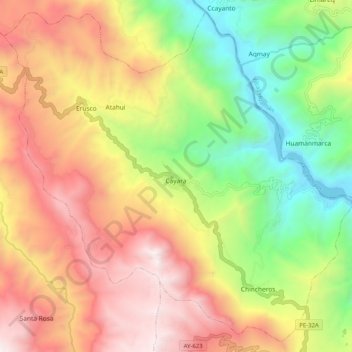
Name: Cayara topographic map, elevation, terrain.
Location: Cayara, Provincia de Víctor Fajardo, Ayacucho, Perú (-13.84006 -74.03857 -13.74754 -73.93709)
Average elevation: 3,390 m
Minimum elevation: 2,422 m
Maximum elevation: 4,403 m