Geolocate

Ashwood topographic map

Click on the map to display elevation.

About this map

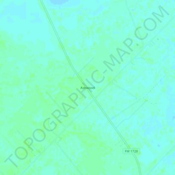
Name: Ashwood topographic map, elevation, terrain.

Location: Ashwood, Matagorda County, Texas, United States (29.08414 -95.89134 29.12414 -95.85134)

Average elevation: 16 m

Minimum elevation: 13 m

Maximum elevation: 20 m

Gear up for your next adventure:

🔥Camping Stove - Portable stoves to cook outdoors with ease
🥾Trail Hiking Socks - Comfortable socks to prevent blisters and fatigue
🩹Moleskin Blister Pads - Direct protection for painful foot pressure points
🏕️Camping Hammock - Integrated protection for sleeping between trees
🎒Hiking Backpack - Lightweight and ergonomic backpacks for day hikes or multi-day treks

As an Amazon Associate, this site earns from qualifying purchases at no extra cost to you.