Geolocate

Tarnița topographic map

Click on the map to display elevation.

About this map

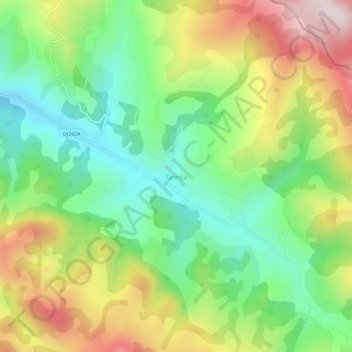
Name: Tarnița topographic map, elevation, terrain.

Location: Tarnița, Hunedoara, 337142, Romania (46.15808 23.03471 46.19808 23.07471)

Average elevation: 668 m

Minimum elevation: 438 m

Maximum elevation: 1,009 m

Gear up for your next adventure:

🥽Outdoor Goggles - Protective eyewear for outdoor activities
🔦LED Headlamp - Hands-free lighting for early morning starts or late finishes
💧Hydration Pack - Hands-free hydration system for long hikes
🥾Light Trekking Boots - Supportive boots for multi-day treks
🦶Anti-Blister Balm - Prevents friction and hotspots during long ascents

As an Amazon Associate, this site earns from qualifying purchases at no extra cost to you.