
Make a donation
Gear up for your next adventure:
As an Amazon Associate, this site earns from qualifying purchases at no extra cost to you.
Cache Lake topographic map
Click on the map to display elevation.
Make a donation
Gear up for your next adventure:
As an Amazon Associate, this site earns from qualifying purchases at no extra cost to you.
About this map
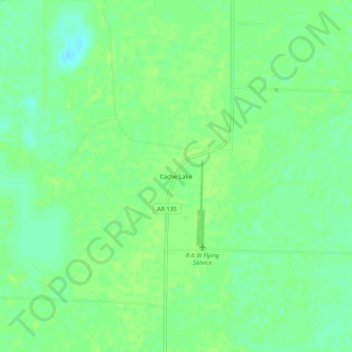
Name: Cache Lake topographic map, elevation, terrain.
Location: Cache Lake, Clay County, Arkansas, 72435, United States (36.27562 -90.55316 36.31562 -90.51316)
Average elevation: 88 m
Minimum elevation: 80 m
Maximum elevation: 91 m
Make a donation
Gear up for your next adventure:
As an Amazon Associate, this site earns from qualifying purchases at no extra cost to you.
Other topographic maps
Click on a map to view its topography, its elevation and its terrain.
Piggott
United States > Arkansas > Clay County
The topography of Piggott is mostly flat in the eastern half of the city with the more developed western half lying along Crowley’s Ridge, creating a sensation of coming down from a small mount to the flatland below. This ridge is a naturally occurring phenomenon created over millennia by wind-blown…
Average elevation: 103 m
Corning
United States > Arkansas > Clay County
The topography of Corning is flat, having previously been marshland. Area farmers and builders may attest to this due to the proliferation of gumbo soil, a name given to soil high in clay particulate matter and common in the region.
Average elevation: 88 m