
Bevere topographic map
Interactive map
Click on the map to display elevation.
About this map
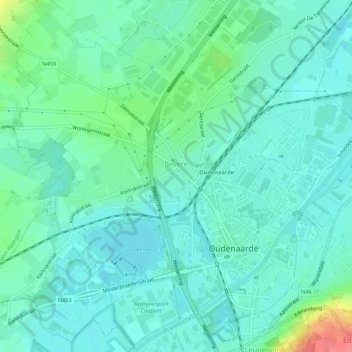
Name: Bevere topographic map, elevation, terrain.
Location: Bevere, Audenarde, Flandre orientale, Flandre, Belgique (50.83337 3.56585 50.86723 3.61207)
Average elevation: 18 m
Minimum elevation: 2 m
Maximum elevation: 74 m
Other topographic maps
Click on a map to view its topography, its elevation and its terrain.
Ename
Belgique > Flandre orientale > Audenarde > Audenarde
Ename, Audenarde, Flandre orientale, Belgique
Average elevation: 25 m