Geolocate

Alkmaar topographic map

Click on the map to display elevation.

About this map

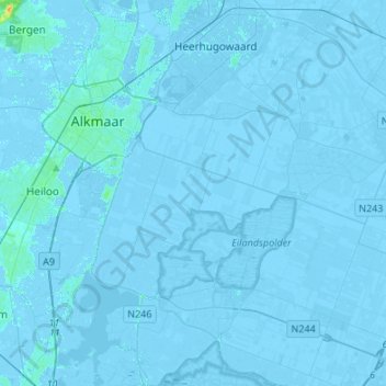
Name: Alkmaar topographic map, elevation, terrain.

Location: Alkmaar, North Holland, Netherlands (52.51916 4.70828 52.68248 4.92693)

Average elevation: -2 m

Minimum elevation: -7 m

Maximum elevation: 24 m

Other topographic maps

Click on a map to view its topography, its elevation and its terrain.

Boomhoek

Netherlands > North Holland > Loosdrecht

Average elevation: -1 m

Sloten

Netherlands > North Holland > Amsterdam

Average elevation: 0 m

Gear up for your next adventure:

🦟Insect Repellent - Keep mosquitoes and black flies away in wooded areas
🥾Hiking Boots - Sturdy boots providing ankle support and traction on rugged trails
🥾Hiking Shorts - Breathable shorts suitable for summer hikes
🕯️Camping Lantern - Illuminates your entire campsite with high-efficiency LEDs
🪑Insulated Seat Pad - Protect your seat from cold rocks and wet logs

As an Amazon Associate, this site earns from qualifying purchases at no extra cost to you.