Geolocate

Highland Valley topographic map

Click on the map to display elevation.

About this map

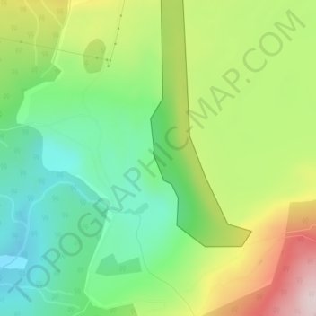
Name: Highland Valley topographic map, elevation, terrain.

Location: Highland Valley, Highland Valley Copper Mine, Logan Lake, Thompson-Nicola Regional District, British Columbia, Canada (50.54032 -121.19628 50.56032 -121.17628)

Average elevation: 1,190 m

Minimum elevation: 1,044 m

Maximum elevation: 1,422 m

Other topographic maps

Click on a map to view its topography, its elevation and its terrain.

Gear up for your next adventure:

🥾Approach Boots - Comfortable boots for hiking and climbing approaches
🧢Hiking Sun Hat - Wide-brimmed protection for exposed mountain ridges
🔥Emergency Fire Starter - Reliable ignition source for all weather conditions
🥾Mountain Trail Shoes - High-traction shoes for mountain trails
Camping Tent - Weather-resistant tents suitable for 2 to 6 people

As an Amazon Associate, this site earns from qualifying purchases at no extra cost to you.