
West Shadyside topographic map
Interactive map
Click on the map to display elevation.
About this map
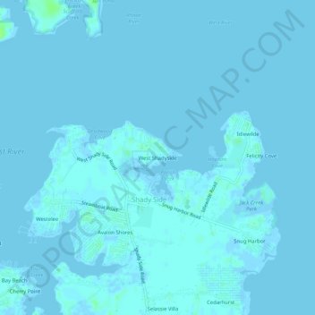
Name: West Shadyside topographic map, elevation, terrain.
Average elevation: 1 m
Minimum elevation: -4 m
Maximum elevation: 8 m
Other topographic maps
Click on a map to view its topography, its elevation and its terrain.
Shady Side
United States > Maryland > Anne Arundel County > Shady Side
Shady Side, Anne Arundel County, Maryland, 20764, United States
Average elevation: 1 m