Geolocate

Flag Pond topographic map

Click on the map to display elevation.

About this map

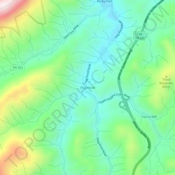
Name: Flag Pond topographic map, elevation, terrain.

Location: Flag Pond, Unicoi County, Tennessee, 37657, United States (35.99539 -82.57708 36.03539 -82.53708)

Average elevation: 846 m

Minimum elevation: 660 m

Maximum elevation: 1,297 m

Gear up for your next adventure:

👟Sport Hiking Sandals - Breathable footwear for water crossings and camp rest
🧣Merino Neck Gaiter - Protects against wind, sun, and cold at high altitudes
🔭Outdoor Binoculars - Lightweight binoculars for birdwatching and hiking
🧥Packable Rain Jacket - Breathable waterproof layer for unpredictable weather
🧼Biodegradable Camp Soap - Environmentally friendly cleaning for gear and body

As an Amazon Associate, this site earns from qualifying purchases at no extra cost to you.