Geolocate

Sapinit topographic map

Click on the map to display elevation.

About this map

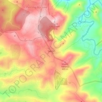
Name: Sapinit topographic map, elevation, terrain.

Location: Sapinit, Rizal, Calabarzon, Philippines (14.63831 121.19128 14.67831 121.23128)

Average elevation: 302 m

Minimum elevation: 108 m

Maximum elevation: 442 m

Gear up for your next adventure:

🔋Solar Power Bank - Keep your GPS and devices charged during long outdoor trips
🎒Backpack Rain Cover - External shield to keep your entire pack dry
🥾Trekking Poles - Adjustable trekking poles to reduce knee stress and improve stability
🛶Kayak Accessories - Essential gear for safe and fun kayaking adventures
🧦Outdoor Socks - Durable socks designed for hiking and outdoor sports

As an Amazon Associate, this site earns from qualifying purchases at no extra cost to you.