
Aipe topographic map
Click on the map to display elevation.
Aipe
Aipe es un municipio colombiano ubicado en el noroccidente del departamento de Huila. Tiene una extensión territorial de 801.04 km², que corresponde al 3.8% del área total del departamento. Está ubicado a una altitud de 350 metros sobre el nivel de mar, con temperatura promedio anual de 28.4°C. El casco urbano del municipio está localizado a la margen izquierda del río Magdalena (Región SubNorte).
About this map
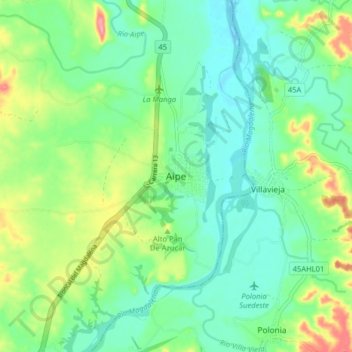
Name: Aipe topographic map, elevation, terrain.
Location: Aipe, Norte, Huila, Colombia (3.18236 -75.27996 3.26236 -75.19996)
Average elevation: 398 m
Minimum elevation: 365 m
Maximum elevation: 474 m