
Naches topographic map
Interactive map
Click on the map to display elevation.
About this map
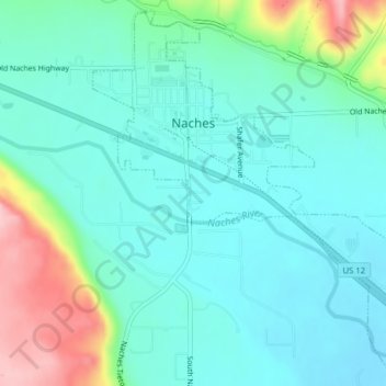
Name: Naches topographic map, elevation, terrain.
Location: Naches, Yakima County, Washington, United States (46.71325 -120.70980 46.73884 -120.67470)
Average elevation: 470 m
Minimum elevation: 429 m
Maximum elevation: 601 m