
Lambras topographic map
Interactive map
Click on the map to display elevation.
About this map
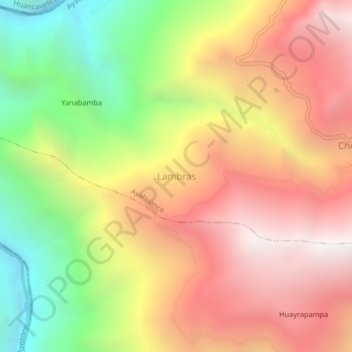
Name: Lambras topographic map, elevation, terrain.
Location: Lambras, Ayahuanco, Huanta, Ayacucho, Pérou (-12.65455 -74.33439 -12.61455 -74.29439)
Average elevation: 3,067 m
Minimum elevation: 1,950 m
Maximum elevation: 4,027 m