Geolocate

Wataba Lake topographic map

Click on the map to display elevation.

About this map

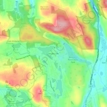
Name: Wataba Lake topographic map, elevation, terrain.

Location: Wataba Lake, Ridgefield, Western Connecticut Planning Region, Connecticut, 06877, United States (41.32049 -73.51178 41.36049 -73.47178)

Average elevation: 205 m

Minimum elevation: 135 m

Maximum elevation: 300 m

Other topographic maps

Click on a map to view its topography, its elevation and its terrain.

Gear up for your next adventure:

🧥Softshell Hiking Jacket - The perfect balance of wind protection and breathability
🥾Trail Hiking Boots - Supportive boots for rough trails
🧭GPS Outdoor Watch - Smart watch for navigation and fitness tracking in nature
🧢Hiking Hat - Sun-protective and breathable hats for long treks
📷Outdoor Action Camera - Capture high-elevation views and rugged adventures

As an Amazon Associate, this site earns from qualifying purchases at no extra cost to you.