Geolocate

Dijk topographic map

Click on the map to display elevation.

About this map

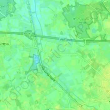
Name: Dijk topographic map, elevation, terrain.

Location: Dijk, Asten, Noord-Brabant, Nederland, 5721, Nederland (51.39508 5.69085 51.43508 5.73085)

Average elevation: 24 m

Minimum elevation: 18 m

Maximum elevation: 29 m

Gear up for your next adventure:

🩹Compact First Aid Kit - Pre-packed essentials for common trail injuries
Camping Coffee Maker - Brew fresh coffee anywhere on the topographic map
💧Collapsible Water Bottle - Space-saving water bottle for outdoor activities
🧴Bear Spray Holster - Quick-access carry for essential Canadian wilderness safety
🧥Softshell Jacket - Windproof and breathable jacket for hiking

As an Amazon Associate, this site earns from qualifying purchases at no extra cost to you.