
Harrison Lake topographic map
Interactive map
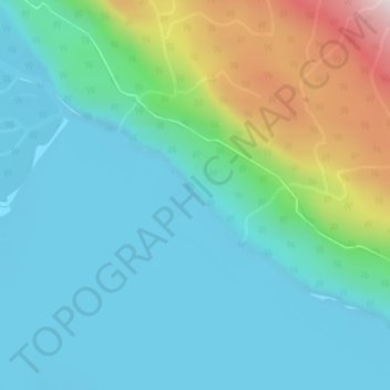
Click on the map to display elevation.
About this map
Name: Harrison Lake topographic map, elevation, terrain.
Average elevation: 158 m
Minimum elevation: 6 m
Maximum elevation: 675 m
British Columbia trails, hiking, mountain biking, running and outdoor activities
Other topographic maps
Click on a map to view its topography, its elevation and its terrain.
Grace Lake Recreation Site
Canada > British Columbia > Area C (Sasquatch Country)
Average elevation: 225 m