
Coast Mountains topographic map
Click on the map to display elevation.
Coast Mountains
The Coast Mountains are part of the Pacific Ring of Fire—the ring of volcanoes and associated mountains around the Pacific Ocean—and contain some of British Columbia's highest mountains. Mount Waddington is the highest mountain of the Coast Mountains and the highest that lies entirely within British Columbia, located northeast of the head of Knight Inlet with an elevation of 4,019 metres (13,186 ft).
About this map
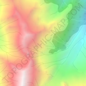
Name: Coast Mountains topographic map, elevation, terrain.
Average elevation: 1,951 m
Minimum elevation: 1,105 m
Maximum elevation: 2,763 m
British Columbia trails, hiking, mountain biking, running and outdoor activities
Other topographic maps
Click on a map to view its topography, its elevation and its terrain.
Haddington Island
Canada > British Columbia > Area A (Seymour Inlet/Knight Inlet)
Average elevation: 1 m