
Niverville topographic map
Interactive map
Click on the map to display elevation.
About this map
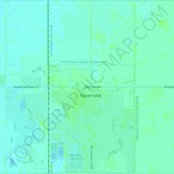
Name: Niverville topographic map, elevation, terrain.
Location: Niverville, Manitoba, R0A 1E0, Canada (49.59104 -97.07167 49.62083 -97.02600)
Average elevation: 237 m
Minimum elevation: 233 m
Maximum elevation: 240 m