
An Tần topographic map
Interactive map
Click on the map to display elevation.
About this map
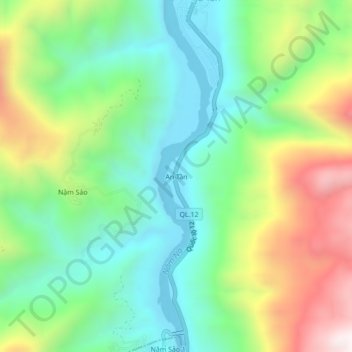
Name: An Tần topographic map, elevation, terrain.
Location: An Tần, Pa Tần, Sìn Hồ, Lai Châu, Vietnam (22.42397 103.17389 22.46397 103.21389)
Average elevation: 567 m
Minimum elevation: 228 m
Maximum elevation: 1,206 m