Geolocate

Nele topographic map

Click on the map to display elevation.

About this map
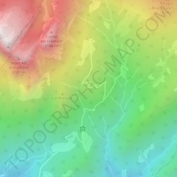
Name: Nele topographic map, elevation, terrain.

Location: Nele, Agordo, Belluno, Veneto, 32021, Italy (46.29751 12.04319 46.31751 12.06319)

Average elevation: 1,421 m

Minimum elevation: 830 m

Maximum elevation: 2,287 m

Gear up for your next adventure:

🥾Trail Hiking Socks - Comfortable socks to prevent blisters and fatigue
🧭GPS Tracker - Track your location in remote areas safely
🧣Evaporative Cooling Towel - Beat the heat during intense summer climbs
🛰️Satellite Messenger - Emergency communication for areas with no cell service
🧶550 Survival Paracord - Versatile utility cord for emergency repairs and rigging

As an Amazon Associate, this site earns from qualifying purchases at no extra cost to you.