
Teleman topographic map
Interactive map
Click on the map to display elevation.
About this map
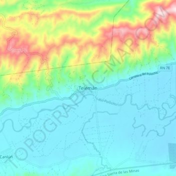
Name: Teleman topographic map, elevation, terrain.
Location: Teleman, Panzós, Alta Verapaz, Guatemala (15.30003 -89.77790 15.38003 -89.69790)
Average elevation: 153 m
Minimum elevation: 12 m
Maximum elevation: 586 m