
Thank you for supporting this site ❤️
Make a donation
Make a donation
Gear up for your next adventure:
As an Amazon Associate, this site earns from qualifying purchases at no extra cost to you.
Mangulam topographic map
Click on the map to display elevation.
Thank you for supporting this site ❤️
Make a donation
Make a donation
Gear up for your next adventure:
As an Amazon Associate, this site earns from qualifying purchases at no extra cost to you.
About this map
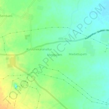
Name: Mangulam topographic map, elevation, terrain.
Location: Mangulam, Aruppukkottai, Virudhunagar, Tamil Nadu, 626105, India (9.47764 78.13077 9.51764 78.17077)
Average elevation: 84 m
Minimum elevation: 71 m
Maximum elevation: 102 m
Thank you for supporting this site ❤️
Make a donation
Make a donation
Gear up for your next adventure:
As an Amazon Associate, this site earns from qualifying purchases at no extra cost to you.