Geolocate

Cash topographic map

Click on the map to display elevation.

About this map

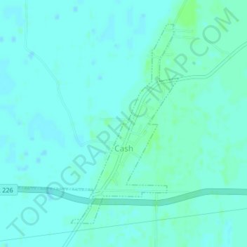
Name: Cash topographic map, elevation, terrain.

Location: Cash, Craighead County, Arkansas, 72421, United States (35.79080 -90.95175 35.81258 -90.92624)

Average elevation: 75 m

Minimum elevation: 72 m

Maximum elevation: 80 m

Other topographic maps

Click on a map to view its topography, its elevation and its terrain.

Gear up for your next adventure:

🧥Ultralight Puffy Jacket - Maximum warmth that packs down to the size of an orange
🥤Collapsible Travel Cup - Saves space and weight in your mess kit
🐕Hiking Dog Pack - Let your canine companion carry their own water and food
🧦Crew Hiking Socks - Comfortable socks for long-distance hikes
🧤Insulated Winter Gloves - Heavy-duty protection for sub-zero Canadian adventures

As an Amazon Associate, this site earns from qualifying purchases at no extra cost to you.