Geolocate

Rosciano topographic map

Click on the map to display elevation.

About this map
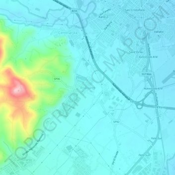
Name: Rosciano topographic map, elevation, terrain.

Location: Rosciano, Fano, Pesaro e Urbino, Marche, 61032, Italia (43.79880 12.97584 43.83880 13.01584)

Average elevation: 41 m

Minimum elevation: 9 m

Maximum elevation: 227 m

Gear up for your next adventure:

🧣Evaporative Cooling Towel - Beat the heat during intense summer climbs
🛁Quick-Dry Microfiber Towel - Space-saving towel that dries rapidly on the move
🔥Emergency Fire Starter - Reliable ignition source for all weather conditions
🪑Ultralight Camping Stool - Compact seating for rest stops during long hikes
🔥Camping Stove - Portable stoves to cook outdoors with ease

As an Amazon Associate, this site earns from qualifying purchases at no extra cost to you.