Geolocate

Danamulya topographic map

Click on the map to display elevation.

About this map

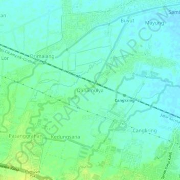
Name: Danamulya topographic map, elevation, terrain.

Location: Danamulya, Cirebon, West Java, Java, 45154, Indonesia (-6.69829 108.47304 -6.65829 108.51304)

Average elevation: 9 m

Minimum elevation: 3 m

Maximum elevation: 19 m

Gear up for your next adventure:

🧥Ultralight Puffy Jacket - Maximum warmth that packs down to the size of an orange
💡Compact LED Flashlight - Powerful and portable flashlight for outdoor use
🧥Softshell Hiking Jacket - The perfect balance of wind protection and breathability
🎒Backpack Rain Cover - External shield to keep your entire pack dry
🕶️Polarized Sunglasses - Reduces glare from snow and water at high elevations

As an Amazon Associate, this site earns from qualifying purchases at no extra cost to you.