Geolocate

Ceza topographic map

Click on the map to display elevation.

About this map

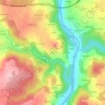
Name: Ceza topographic map, elevation, terrain.

Location: Ceza, Coeses, Lugo, Galicia, 27181, Spain (42.91772 -7.54630 42.95772 -7.50630)

Average elevation: 447 m

Minimum elevation: 352 m

Maximum elevation: 533 m

Gear up for your next adventure:

🏕️Camping Hammock - Integrated protection for sleeping between trees
👖Convertible Hiking Pants - Zip-off legs to adapt to changing weather conditions
🥾Mountain Hiking Boots - High-traction boots for rocky terrain
🥾Hiking Shorts - Breathable shorts suitable for summer hikes
🐕Hiking Dog Pack - Let your canine companion carry their own water and food

As an Amazon Associate, this site earns from qualifying purchases at no extra cost to you.