
Make a donation
Gear up for your next adventure:
As an Amazon Associate, this site earns from qualifying purchases at no extra cost to you.
Easter Island Province topographic map
Click on the map to display elevation.
Make a donation
Gear up for your next adventure:
As an Amazon Associate, this site earns from qualifying purchases at no extra cost to you.
About this map
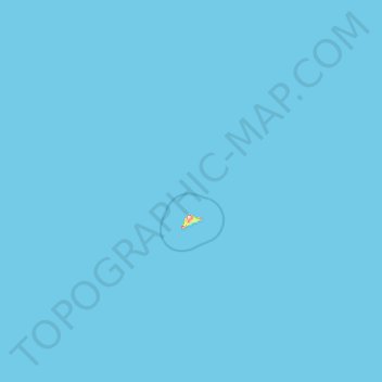
Name: Easter Island Province topographic map, elevation, terrain.
Average elevation: 0 m
Minimum elevation: 0 m
Maximum elevation: 460 m
Make a donation
Gear up for your next adventure:
As an Amazon Associate, this site earns from qualifying purchases at no extra cost to you.
Other topographic maps
Click on a map to view its topography, its elevation and its terrain.
Piko Bay
Chile > Valparaiso Region > Easter Island Province > Easter Island > Hanga Roa
Average elevation: 32 m
La Laguna de Zapallar
Chile > Valparaiso Region > Provincia de Petorca > Zapallar
Average elevation: 58 m
Ocoa
Chile > Valparaiso Region > Provincia de Quillota > Hijuelas > La Sombra
Average elevation: 349 m
Make a donation
Gear up for your next adventure:
As an Amazon Associate, this site earns from qualifying purchases at no extra cost to you.
Viña del Mar
Chile > Valparaiso Region > Provincia de Valparaíso > Viña del Mar
Average elevation: 152 m
Make a donation
Gear up for your next adventure:
As an Amazon Associate, this site earns from qualifying purchases at no extra cost to you.
San Felipe
Chile > Valparaiso Region > Provincia de San Felipe de Aconcagua > San Felipe
Average elevation: 1,017 m
Los Loros
Chile > Valparaiso Region > Provincia de San Felipe de Aconcagua > Llay-Llay
Average elevation: 523 m
Ritoque
Chile > Valparaiso Region > Provincia de Valparaíso > Quintero > Ritoque
Average elevation: 18 m