
Greensboro topographic map
Interactive map
Click on the map to display elevation.
About this map
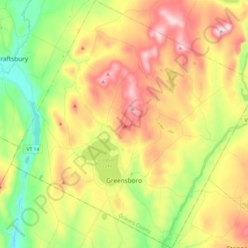
Name: Greensboro topographic map, elevation, terrain.
Location: Greensboro, Orleans County, Vermont, USA (44.54249 -72.37386 44.66490 -72.20249)
Average elevation: 447 m
Minimum elevation: 241 m
Maximum elevation: 691 m