Geolocate

Naas topographic map

Click on the map to display elevation.

About this map

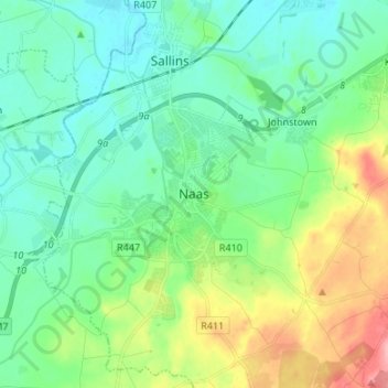
Name: Naas topographic map, elevation, terrain.

Location: Naas, County Kildare, Leinster, Ireland (53.18147 -6.69741 53.26147 -6.61741)

Average elevation: 102 m

Minimum elevation: 69 m

Maximum elevation: 189 m

Gear up for your next adventure:

🔦UV Flashlight - Detect minerals or specific insects in the dark
🪑Insulated Seat Pad - Protect your seat from cold rocks and wet logs
🧴Insect Repellent - Protect yourself from bugs during outdoor adventures
🧦Hiking Liner Socks - Thin base layer to prevent friction and blisters
Bushcraft Tarp - Versatile emergency shelter or gear protection

As an Amazon Associate, this site earns from qualifying purchases at no extra cost to you.