Geolocate

Caraveli topographic map

Click on the map to display elevation.

About this map

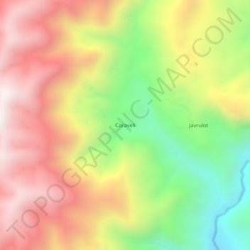
Name: Caraveli topographic map, elevation, terrain.

Location: Caraveli, Huicungo, Mariscal Cáceres, San Martín, Perú (-6.66372 -77.30037 -6.62372 -77.26037)

Average elevation: 1,562 m

Minimum elevation: 935 m

Maximum elevation: 2,132 m

Gear up for your next adventure:

💡LED Camping Lantern - Illuminate your campsite with long-lasting lanterns
📷Outdoor Action Camera - Capture high-elevation views and rugged adventures
🔪Outdoor Multitool - Versatile tool for repairs and food prep in the wild
Bushcraft Tarp - Versatile emergency shelter or gear protection
🥾Light Trekking Boots - Supportive boots for multi-day treks

As an Amazon Associate, this site earns from qualifying purchases at no extra cost to you.