
Ангара topographic map
Interactive map
Click on the map to display elevation.
About this map
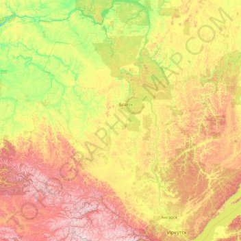
Name: Ангара topographic map, elevation, terrain.
Average elevation: 685 m
Minimum elevation: 105 m
Maximum elevation: 3,108 m
Other topographic maps
Click on a map to view its topography, its elevation and its terrain.
озеро Байкал
Rusia > Óblast de Irkutsk > Онгуренское сельское поселение
озеро Байкал, Онгуренское сельское поселение, Ольхонский район, Óblast de Irkutsk, Distrito federal de Siberia, Rusia
Average elevation: 887 m