
Memphis topographic map
Click on the map to display elevation.
About this map
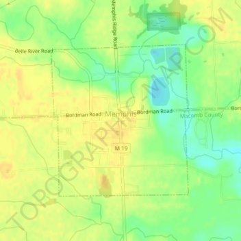
Name: Memphis topographic map, elevation, terrain.
Location: Memphis, Macomb County, Michigan, United States (42.88716 -82.77949 42.90418 -82.75845)
Average elevation: 226 m
Minimum elevation: 210 m
Maximum elevation: 236 m
Other topographic maps
Click on a map to view its topography, its elevation and its terrain.
Sterling Heights
United States > Michigan > Macomb County > Sterling Heights > Sterling Heights
Average elevation: 205 m
Chesterfield Shores
United States > Michigan > Macomb County > Chesterfield Township
Average elevation: 178 m
Forest Lake
United States > Michigan > Macomb County > Shelby Charter Township
Average elevation: 202 m