Geolocate

Dee Lake topographic map

Click on the map to display elevation.

About this map

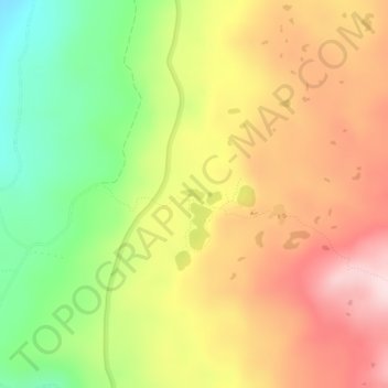
Name: Dee Lake topographic map, elevation, terrain.

Location: Dee Lake, Skamania County, Washington, United States (46.00485 -121.83146 46.00565 -121.82903)

Average elevation: 1,308 m

Minimum elevation: 1,140 m

Maximum elevation: 1,461 m

Other topographic maps

Click on a map to view its topography, its elevation and its terrain.

Gear up for your next adventure:

🧥Thermal Fleece Jacket - Versatile insulation for changing mountain temperatures
🚑Survival Whistle - Signal for help across long distances in mountains
🩹Compact First Aid Kit - Pre-packed essentials for common trail injuries
🧦Outdoor Socks - Durable socks designed for hiking and outdoor sports
🧦Hiking Liner Socks - Thin base layer to prevent friction and blisters

As an Amazon Associate, this site earns from qualifying purchases at no extra cost to you.