Geolocate

Monte Fano topographic map

Click on the map to display elevation.

About this map

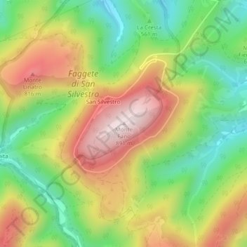
Name: Monte Fano topographic map, elevation, terrain.

Location: Monte Fano, Fabriano, Ancona, Marche, 60044, Italy (43.30021 12.89299 43.30031 12.89309)

Average elevation: 626 m

Minimum elevation: 404 m

Maximum elevation: 887 m

Gear up for your next adventure:

🧥Waterproof Pants - Keep dry during rainy hiking conditions
🛁Quick-Dry Microfiber Towel - Space-saving towel that dries rapidly on the move
🥽Outdoor Goggles - Protective eyewear for outdoor activities
🥾Lightweight Hiking Boots - Boots for comfort and mobility on long hikes
📷Outdoor Action Camera - Capture high-elevation views and rugged adventures

As an Amazon Associate, this site earns from qualifying purchases at no extra cost to you.