Geolocate

Fallascoso topographic map

Click on the map to display elevation.

About this map

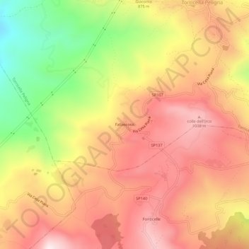
Name: Fallascoso topographic map, elevation, terrain.

Location: Fallascoso, Torricella Peligna, Chieti, Abruzzo, 66019, Italy (41.98487 14.22233 42.02487 14.26233)

Average elevation: 839 m

Minimum elevation: 488 m

Maximum elevation: 1,082 m

Gear up for your next adventure:

💡LED Headlamp - Hands-free illumination for night hiking and camping
🥾Hiking Gaiters - Protect legs and shoes from mud, snow, and debris
🧭Orienteering Kit - Tools for map reading and navigation in the wild
🥾Trail Hiking Shoes - Durable shoes designed for rugged trails
🧣Evaporative Cooling Towel - Beat the heat during intense summer climbs

As an Amazon Associate, this site earns from qualifying purchases at no extra cost to you.