Geolocate

Ronchi topographic map

Click on the map to display elevation.

About this map
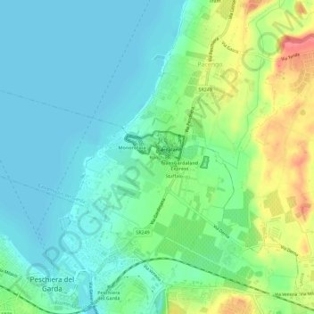
Name: Ronchi topographic map, elevation, terrain.

Location: Ronchi, Castelnuovo del Garda, Verona, Veneto, 37014, Italy (45.43506 10.69109 45.47506 10.73109)

Average elevation: 83 m

Minimum elevation: 62 m

Maximum elevation: 134 m

Gear up for your next adventure:

🗺️Topographic Maps - Detailed maps to explore trails, mountains, and wilderness areas
🚑Survival Whistle - Signal for help across long distances in mountains
🥘Camping Cookware Set - Compact nesting pots and pans for trail cooking
🦶Anti-Blister Balm - Prevents friction and hotspots during long ascents
🥾Trail Hiking Shoes - Durable shoes designed for rugged trails

As an Amazon Associate, this site earns from qualifying purchases at no extra cost to you.