
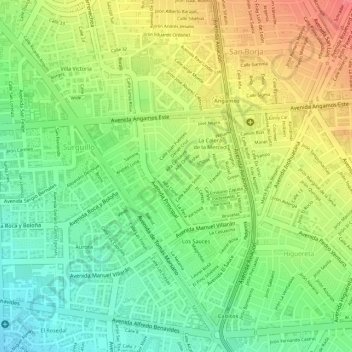
Parque Britanico topographic map
Interactive map
Click on the map to display elevation.
About this map
Name: Parque Britanico topographic map, elevation, terrain.
Location: Parque Britanico, Surquillo, Lima, Perú (-12.11704 -77.00476 -12.11633 -77.00393)
Average elevation: 123 m
Minimum elevation: 88 m
Maximum elevation: 161 m
Other topographic maps
Click on a map to view its topography, its elevation and its terrain.
Huaca La Merced
Huaca La Merced, Avenida Principal, Los Sauces, Surquillo, Lima, Lima Metropolitana, Lima, 15038, Perú
Average elevation: 121 m