
Thank you for supporting this site ❤️
Make a donation
Make a donation
Gear up for your next adventure:
As an Amazon Associate, this site earns from qualifying purchases at no extra cost to you.
Sheer topographic map
Click on the map to display elevation.
Thank you for supporting this site ❤️
Make a donation
Make a donation
Gear up for your next adventure:
As an Amazon Associate, this site earns from qualifying purchases at no extra cost to you.
About this map
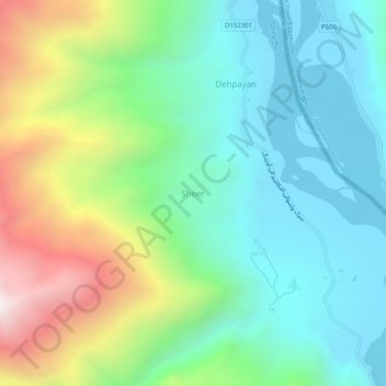
Name: Sheer topographic map, elevation, terrain.
Location: Sheer, Ishkashim, Badakhshan Province, Afghanistan (36.83004 71.49518 36.87004 71.53518)
Average elevation: 2,839 m
Minimum elevation: 2,440 m
Maximum elevation: 3,763 m
Thank you for supporting this site ❤️
Make a donation
Make a donation
Gear up for your next adventure:
As an Amazon Associate, this site earns from qualifying purchases at no extra cost to you.