Geolocate

Pallapatti topographic map

Click on the map to display elevation.

About this map

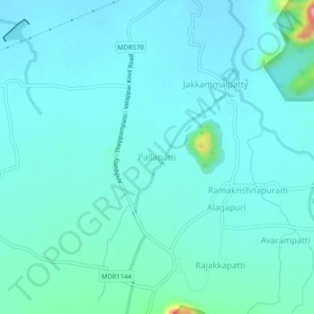
Name: Pallapatti topographic map, elevation, terrain.

Location: Pallapatti, Andipatti, Theni, Tamil Nadu, India (9.89550 77.57592 9.93550 77.61592)

Average elevation: 367 m

Minimum elevation: 339 m

Maximum elevation: 559 m

Other topographic maps

Click on a map to view its topography, its elevation and its terrain.

Megamalai WLS

India > Tamil Nadu > Andipatti

Average elevation: 462 m

Gear up for your next adventure:

🔦UV Flashlight - Detect minerals or specific insects in the dark
🥾Waterproof Trail Shoes - Shoes designed to handle wet terrain
🥾Hiking Shorts - Breathable shorts suitable for summer hikes
🧢Outdoor Visor - Breathable visor for sunny hikes
💡Compact LED Flashlight - Powerful and portable flashlight for outdoor use

As an Amazon Associate, this site earns from qualifying purchases at no extra cost to you.