Geolocate

Kimtoli topographic map

Click on the map to display elevation.

About this map

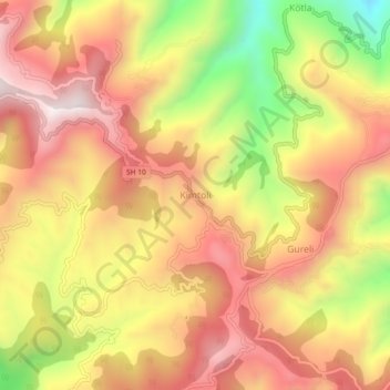
Name: Kimtoli topographic map, elevation, terrain.

Location: Kimtoli, Lohaghat, Champawat, Uttarakhand, 262524, India (29.37118 80.12939 29.41118 80.16939)

Average elevation: 1,692 m

Minimum elevation: 1,247 m

Maximum elevation: 1,997 m

Gear up for your next adventure:

🔋Emergency Crank Radio - Weather alerts and power without needing batteries
Backpacking Tent - Lightweight tent for long-distance hiking trips
🧥Softshell Jacket - Windproof and breathable jacket for hiking
🔦LED Headlamp - Hands-free lighting for early morning starts or late finishes
🥽Outdoor Goggles - Protective eyewear for outdoor activities

As an Amazon Associate, this site earns from qualifying purchases at no extra cost to you.