Geolocate

Vagra topographic map

Click on the map to display elevation.

About this map

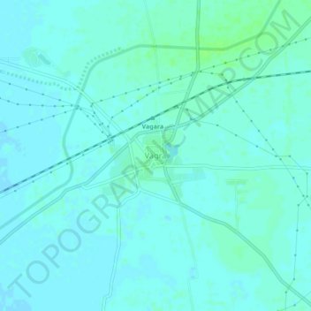
Name: Vagra topographic map, elevation, terrain.

Location: Vagra, Vagra Taluka, Bharuch, Gujarat, 392140, India (21.82476 72.82487 21.86476 72.86487)

Average elevation: 13 m

Minimum elevation: 10 m

Maximum elevation: 18 m

Gear up for your next adventure:

🥾Trekking Boots - Durable boots for long-distance trekking
🐕Hiking Dog Pack - Let your canine companion carry their own water and food
🛶Kayak Accessories - Essential gear for safe and fun kayaking adventures
🛰️Satellite Messenger - Emergency communication for areas with no cell service
🥾All-Terrain Hiking Boots - Versatile boots for varied hiking conditions

As an Amazon Associate, this site earns from qualifying purchases at no extra cost to you.