Geolocate

Siddhaur topographic map

Click on the map to display elevation.

About this map

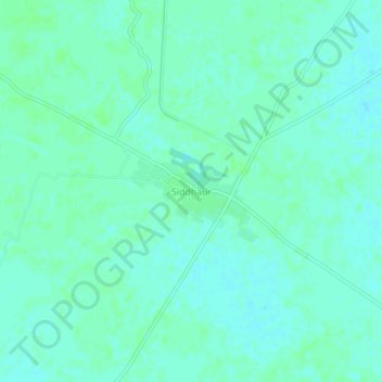
Name: Siddhaur topographic map, elevation, terrain.

Location: Siddhaur, Haidergarh, Barabanki, Uttar Pradesh, India (26.74963 81.38325 26.78963 81.42325)

Average elevation: 114 m

Minimum elevation: 110 m

Maximum elevation: 116 m

Gear up for your next adventure:

🍽️Titanium Camping Spork - Ultralight and indestructible eating utensil
🧥Fleece Jacket - Warm and lightweight jacket for layering
🛏️Camping Sleeping Mat - Comfortable mats for sleeping outdoors
🕶️Polarized Sunglasses - Protect your eyes with durable polarized lenses
🧰Survival Kit - Essential gear for emergencies in the wilderness

As an Amazon Associate, this site earns from qualifying purchases at no extra cost to you.