
Tafara topographic map
Interactive map
Click on the map to display elevation.
About this map
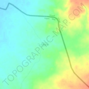
Name: Tafara topographic map, elevation, terrain.
Location: Tafara, Kayes Cercle, Kayes, Mali (15.60467 -11.43570 15.64467 -11.39570)
Average elevation: 107 m
Minimum elevation: 89 m
Maximum elevation: 139 m