Geolocate

Charpokhari topographic map

Click on the map to display elevation.

About this map

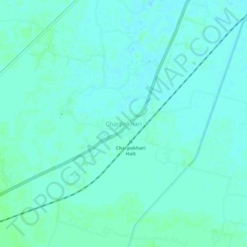
Name: Charpokhari topographic map, elevation, terrain.

Location: Charpokhari, Bhojpur, Bihar, 802223, India (25.34261 84.46497 25.38261 84.50497)

Average elevation: 73 m

Minimum elevation: 70 m

Maximum elevation: 76 m

Gear up for your next adventure:

Lightweight Backpacking Tent - Compact tent for efficient hiking trips
🧢Sun Hat - Wide-brim hat for sun protection
🛏️Sleeping Bag - Warm and compact sleeping bags for outdoor camping
🧥Ultralight Puffy Jacket - Maximum warmth that packs down to the size of an orange
🔋Solar Power Bank - Keep your GPS and devices charged during long outdoor trips

As an Amazon Associate, this site earns from qualifying purchases at no extra cost to you.