Geolocate

NOROSI topographic map

Click on the map to display elevation.

About this map

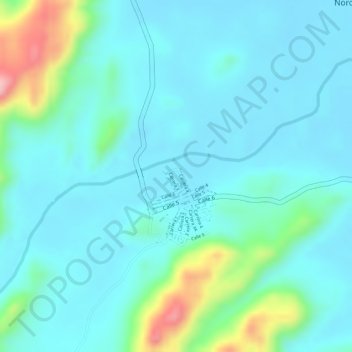
Name: NOROSI topographic map, elevation, terrain.

Location: NOROSI, Norosí, Bolívar, RAP Caribe, Colombia (8.51863 -74.04841 8.53863 -74.02841)

Average elevation: 77 m

Minimum elevation: 45 m

Maximum elevation: 201 m

Gear up for your next adventure:

🔦LED Flashlight - Powerful and long-lasting flashlight for camping and emergencies
Tent Footprint - Protect tent floor and increase durability
🧤Rechargeable Heated Gloves - Extreme warmth for Canadian winter expeditions
👟Leg Gaiters - Keep debris, mud, and snow out of your boots
🏃Hydration Running Vest - Carry water and maps close to your body for speed

As an Amazon Associate, this site earns from qualifying purchases at no extra cost to you.