
Cooperville topographic map
Click on the map to display elevation.
About this map
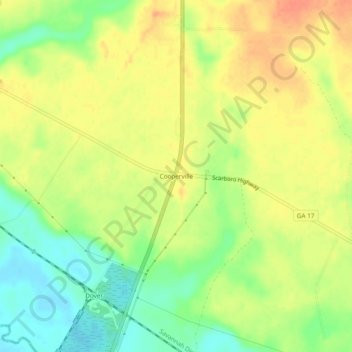
Name: Cooperville topographic map, elevation, terrain.
Location: Cooperville, Screven County, Georgia, United States (32.57073 -81.72400 32.61073 -81.68400)
Average elevation: 47 m
Minimum elevation: 22 m
Maximum elevation: 67 m
Other topographic maps
Click on a map to view its topography, its elevation and its terrain.
Sylvania
United States > Georgia > Screven County
According to the United States Census Bureau, the city has a total area of 3.8 square miles (9.8 km2), all land. Sylvania's elevation is 230 feet and is slightly higher than most of the land throughout Screven County.
Average elevation: 60 m