
Godbout topographic map
Interactive map
Click on the map to display elevation.
About this map
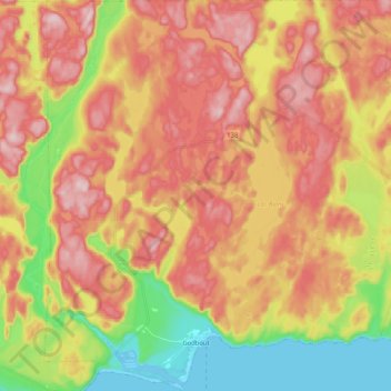
Name: Godbout topographic map, elevation, terrain.
Location: Godbout, Manicouagan, Côte-Nord, Quebec, G0H 1G0, Canada (49.30658 -67.67680 49.44175 -67.47275)
Average elevation: 148 m
Minimum elevation: -4 m
Maximum elevation: 271 m